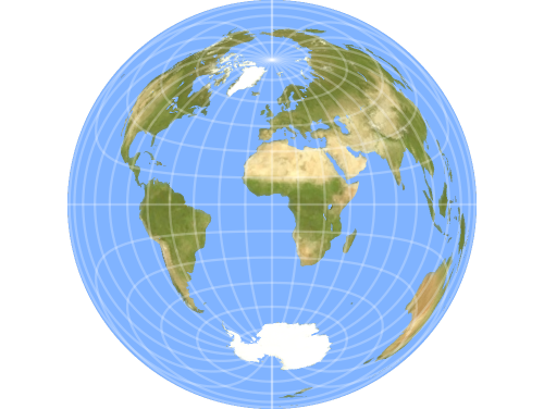
Gallery of Geospace Projections
The GeoProjection option of GeoGraphics allows you to select from hundreds of built-in Wolfram Language projections to construct maps that best represent your needs. Some projections are useful with default parameters, but many can be customized.
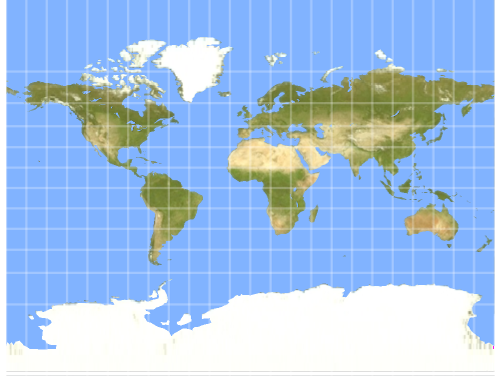
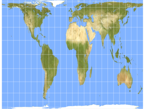
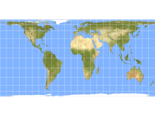
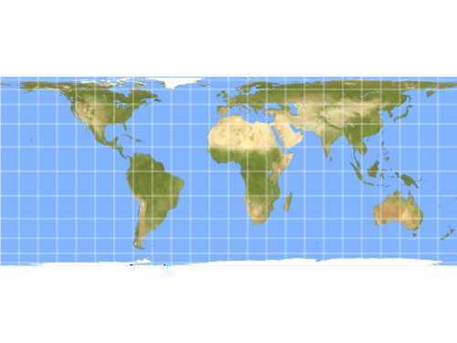
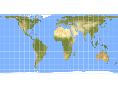
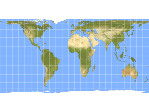
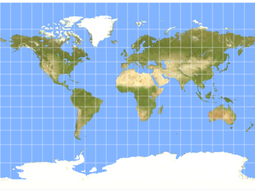
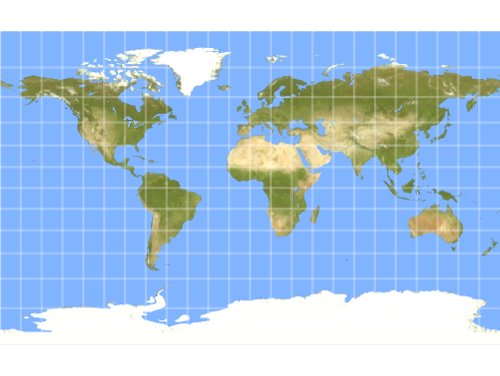
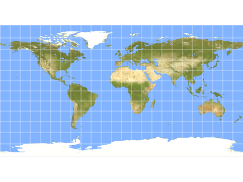
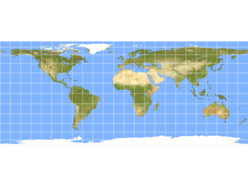
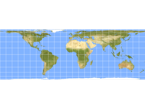
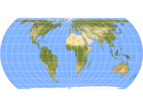
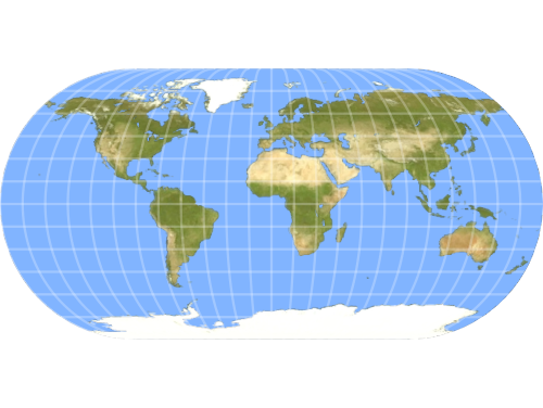
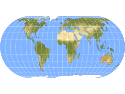
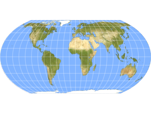
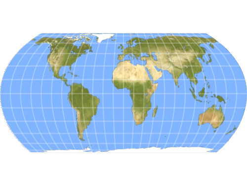
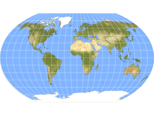
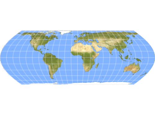
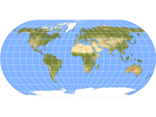
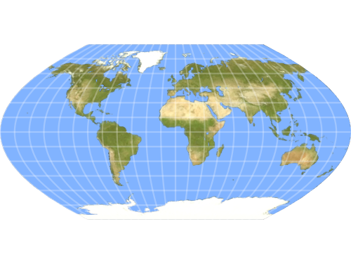
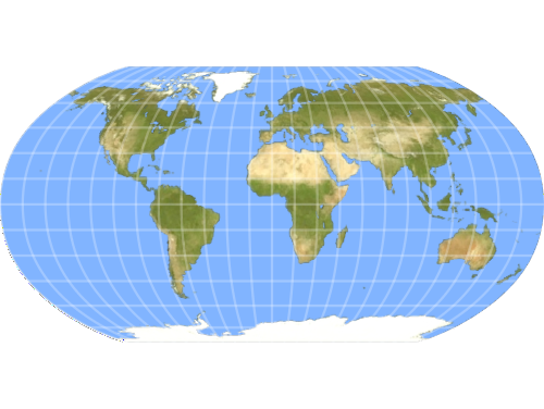
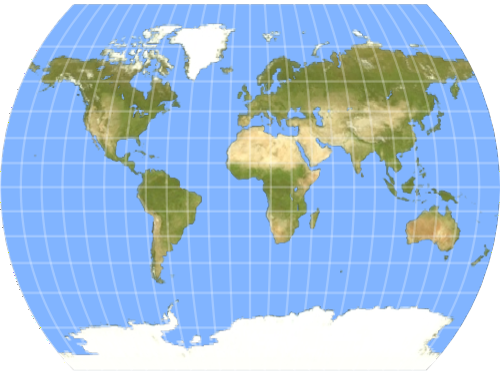
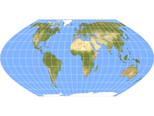
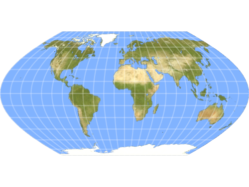
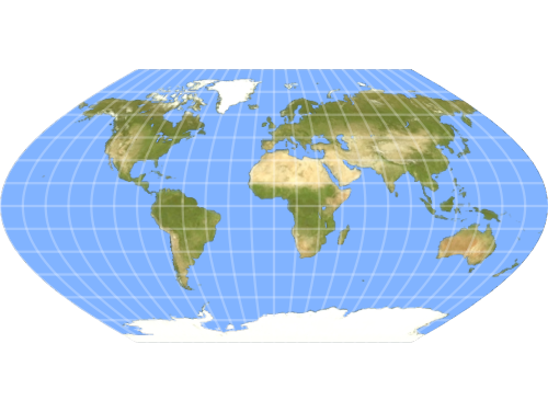
Cylindrical
Visualize the entire globe on a flat, rectangular grid ideal for world maps and travel.

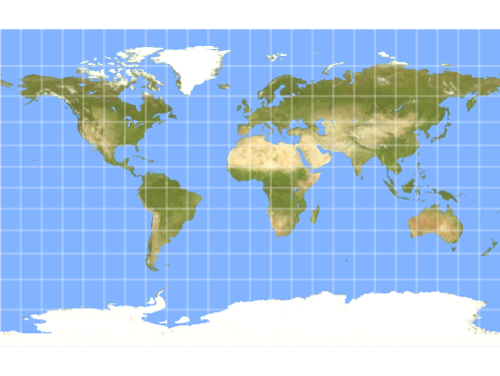
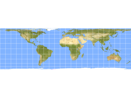
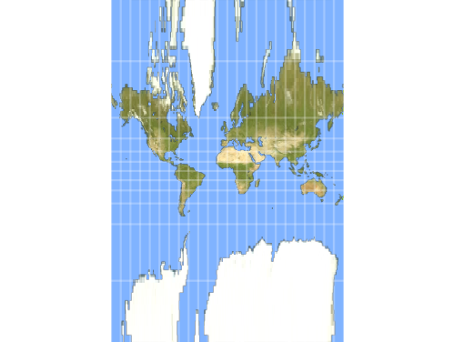

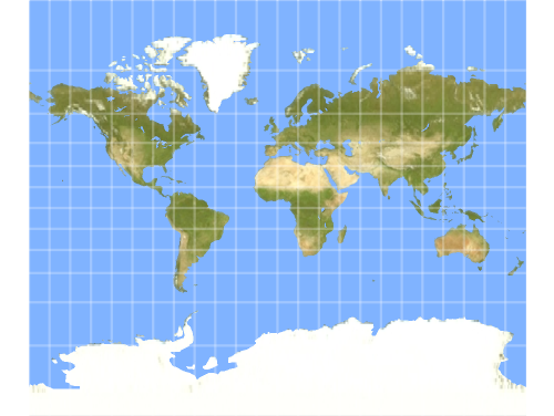
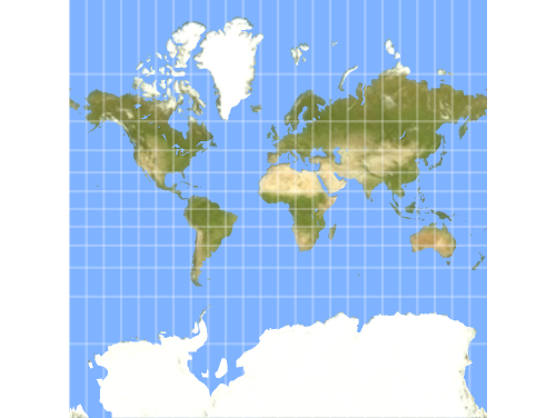
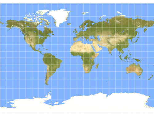
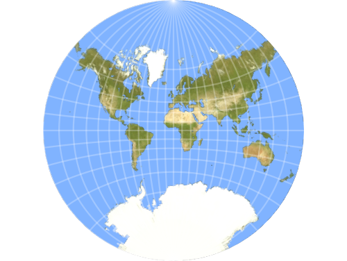
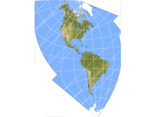
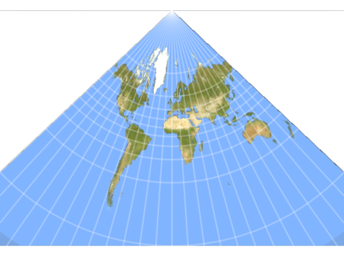
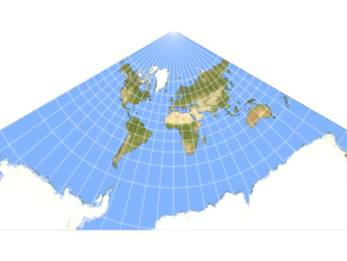
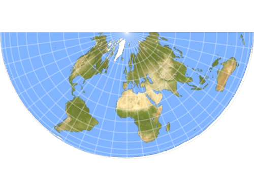
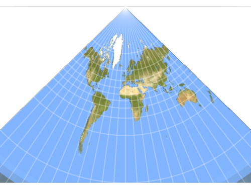
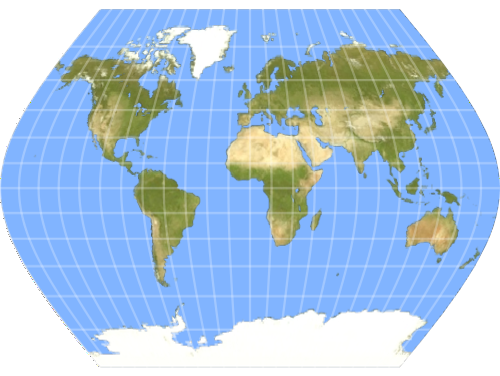
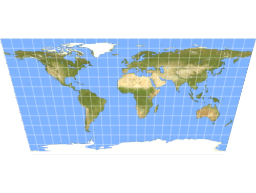
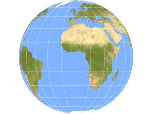
Conic
Project the world map onto a tangent cone to show mid‐latitude regions with good accuracy.
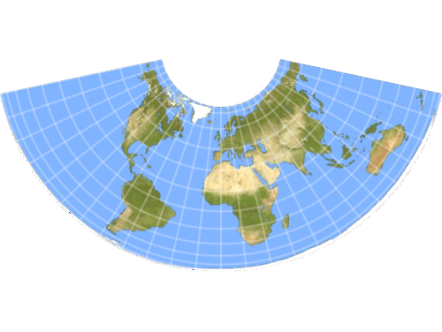
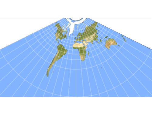

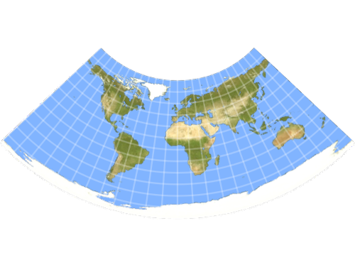
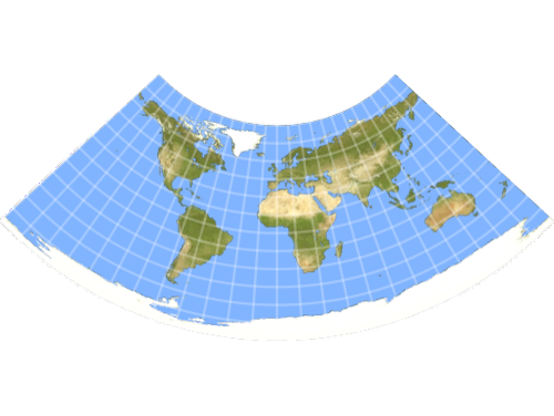
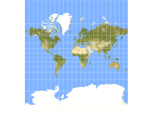
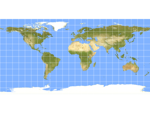
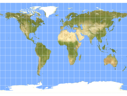
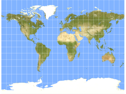
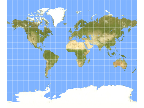
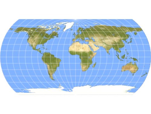
Polyconic
Chart large land areas with reduced distortion using a series of locally fitted cones.
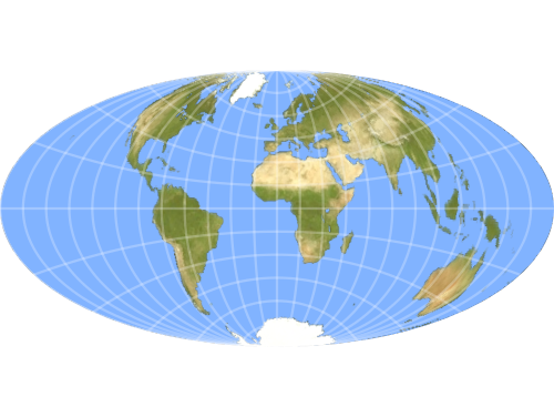
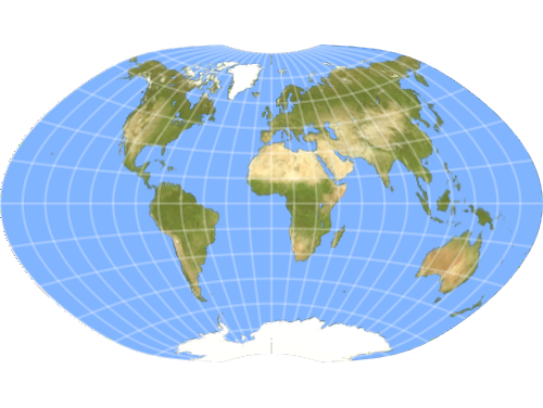
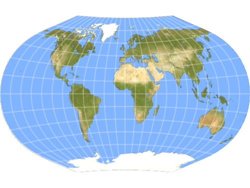
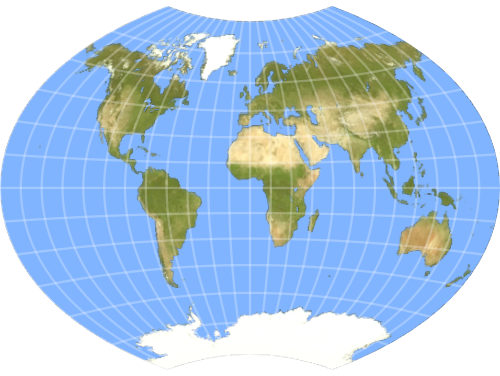
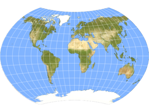
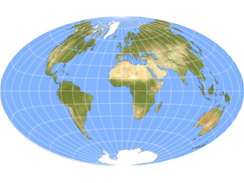
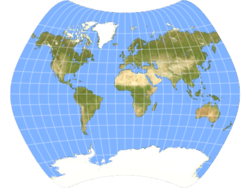
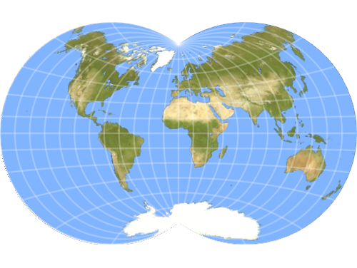
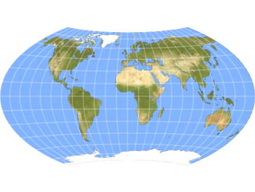
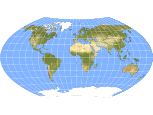
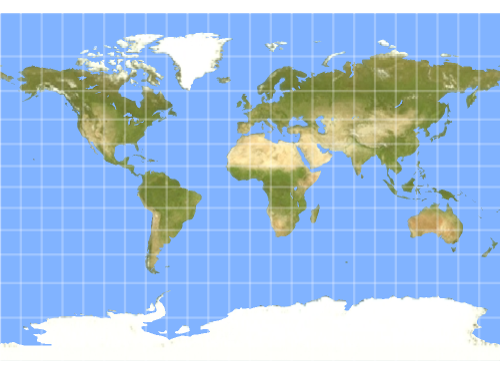
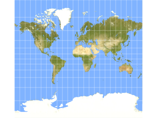
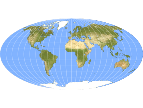
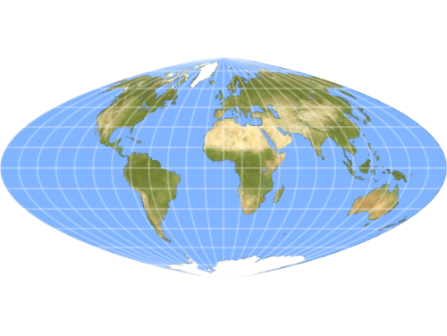
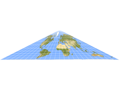
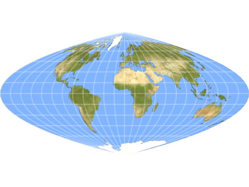
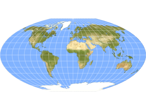
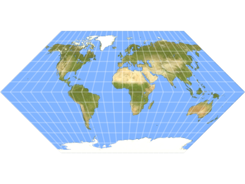
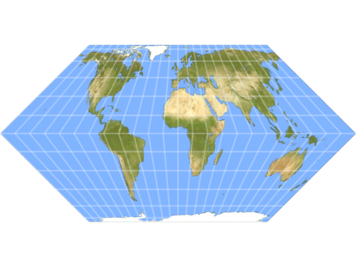
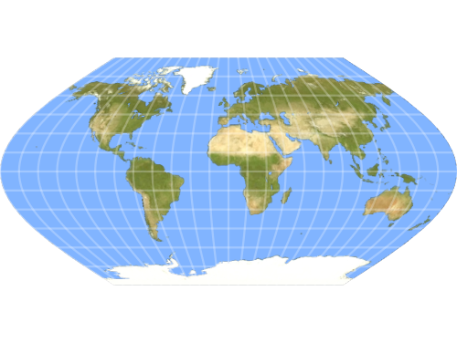
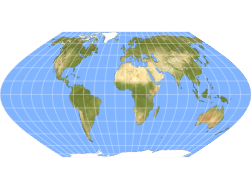
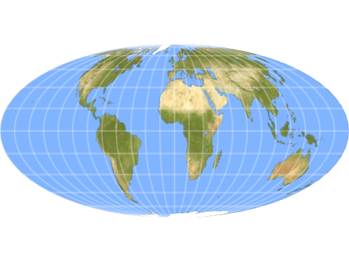
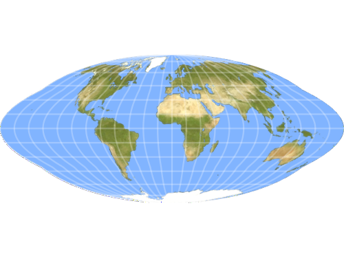
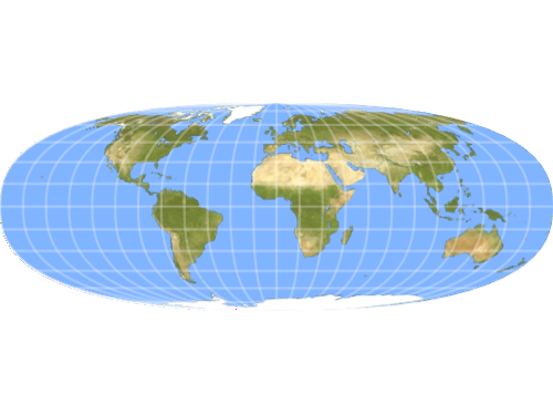
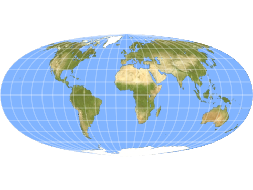
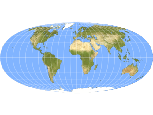
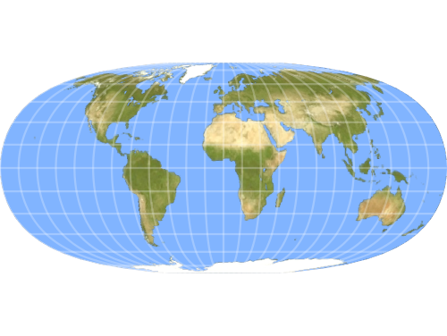
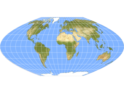
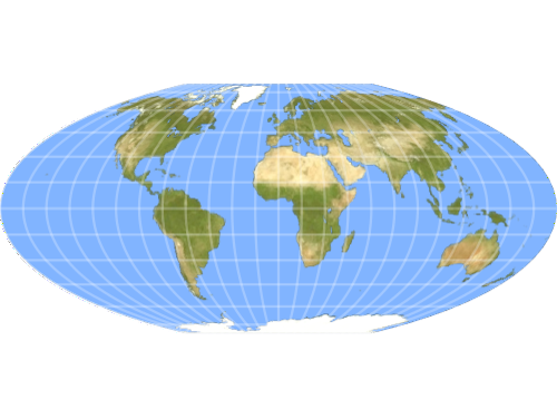
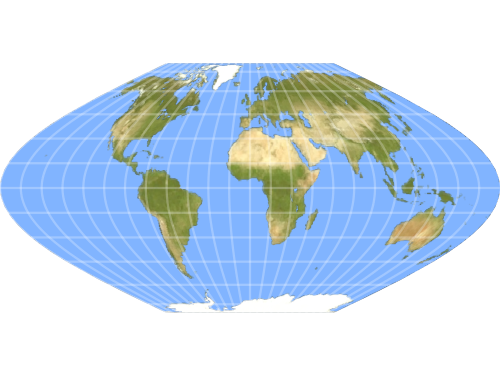
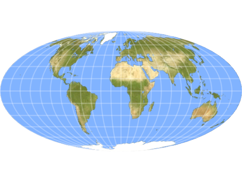
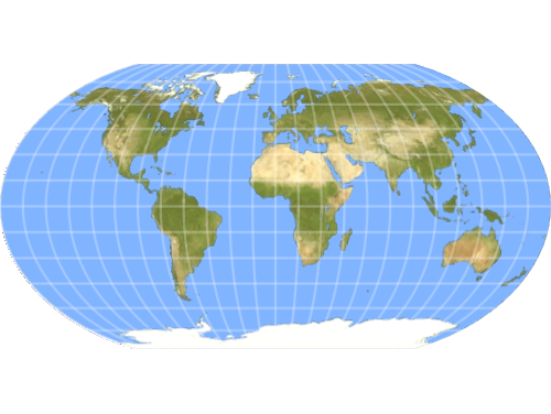
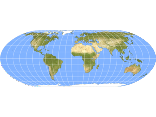
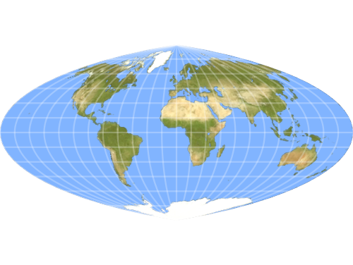
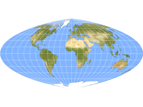
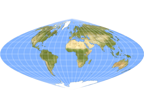
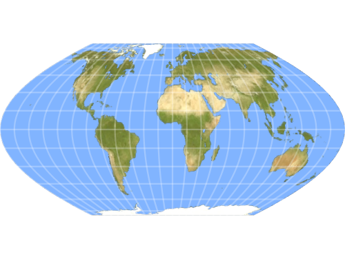
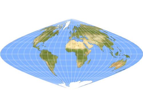
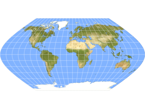
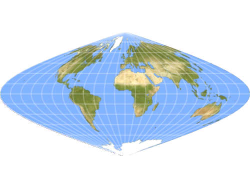
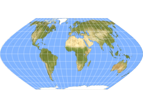
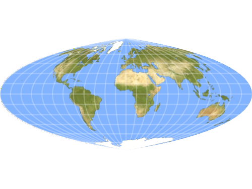
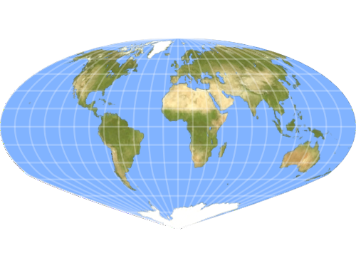
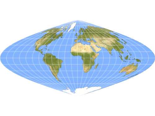
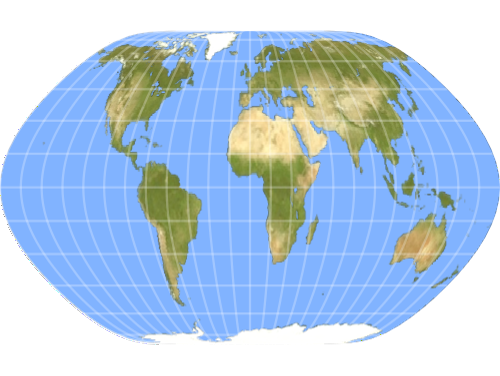
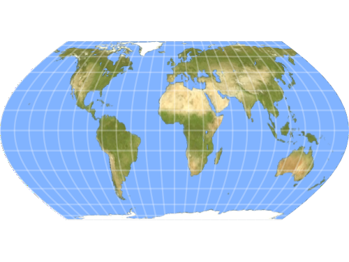
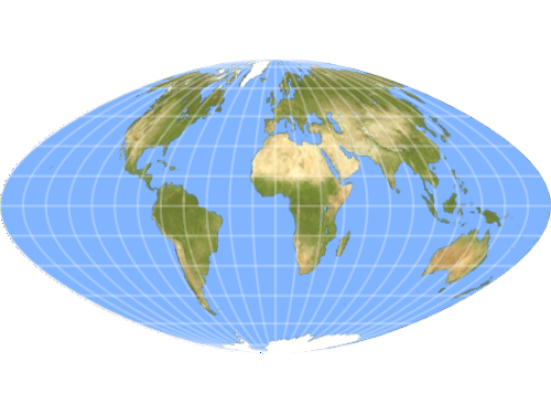
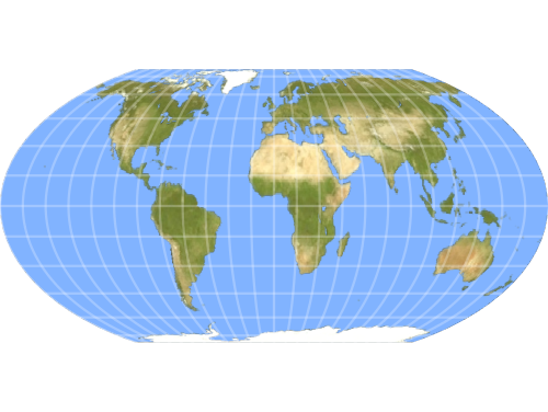
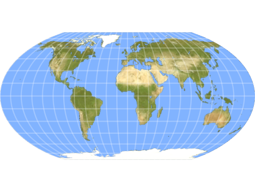
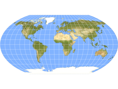
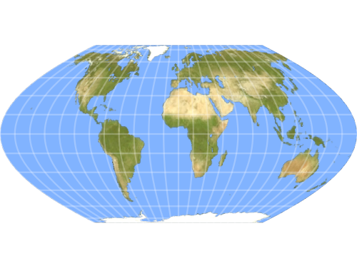
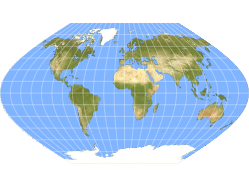
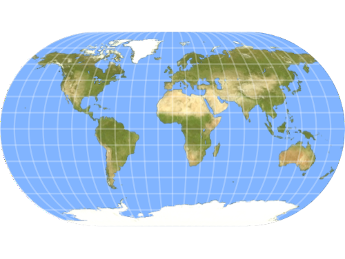
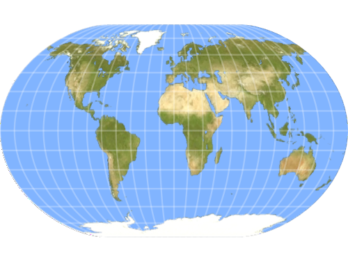
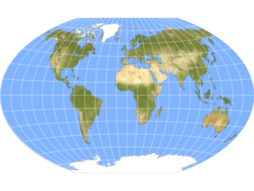
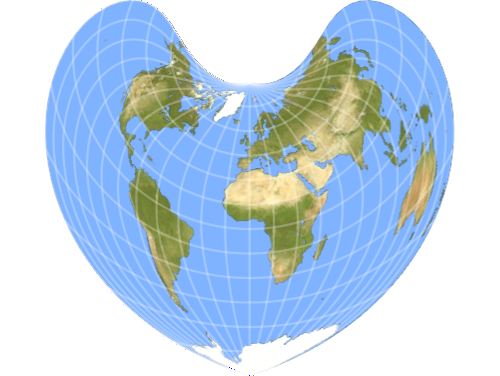
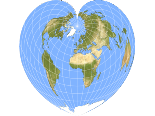
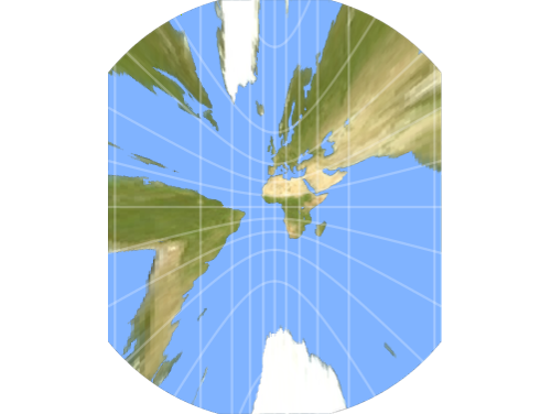
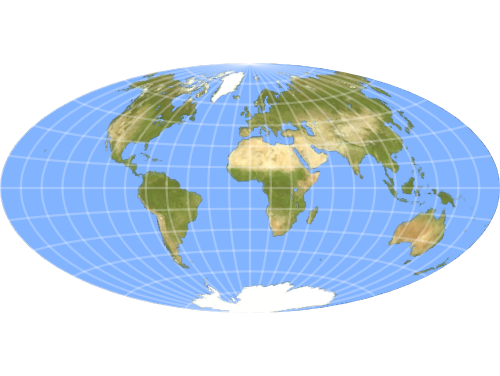
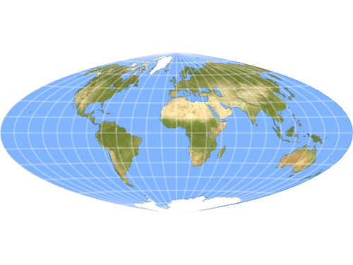
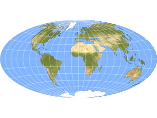
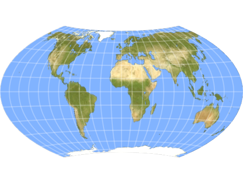
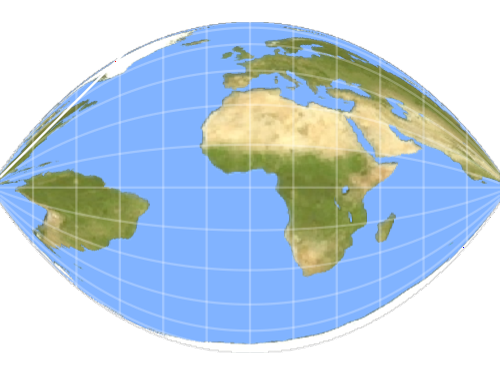
Pseudo‐Cylindrical
Display world maps with curved meridians that better preserve area across the globe.

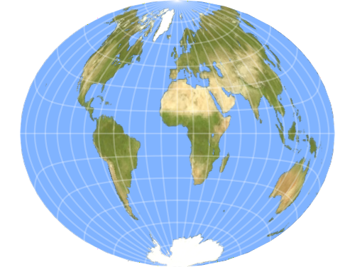
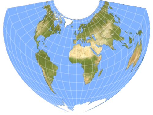
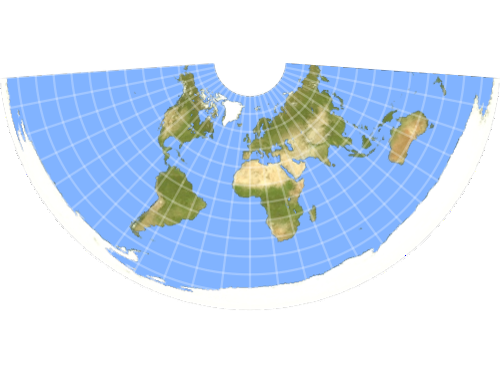
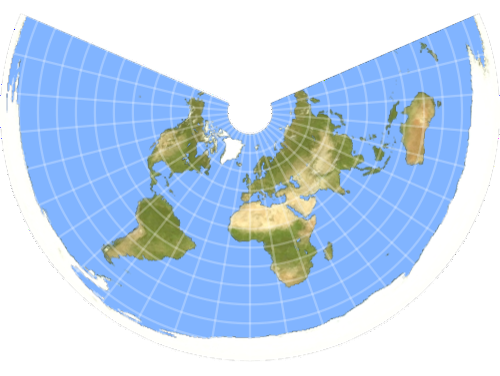
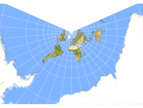
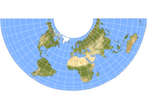
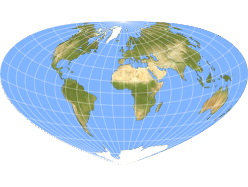
Pseudo‐Conic
Represent continental regions with gracefully curved parallels and meridians for aesthetic thematic maps.
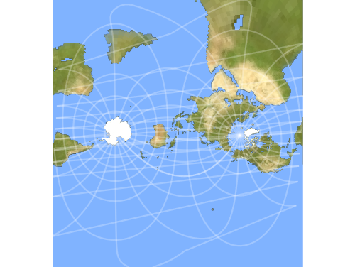
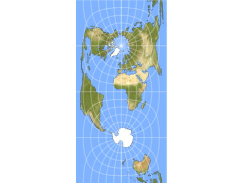
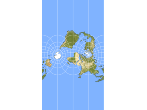
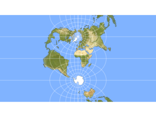
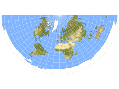
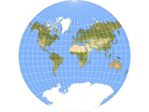
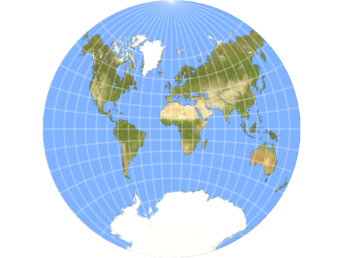
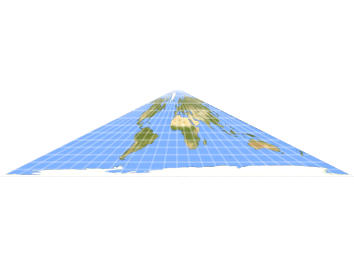
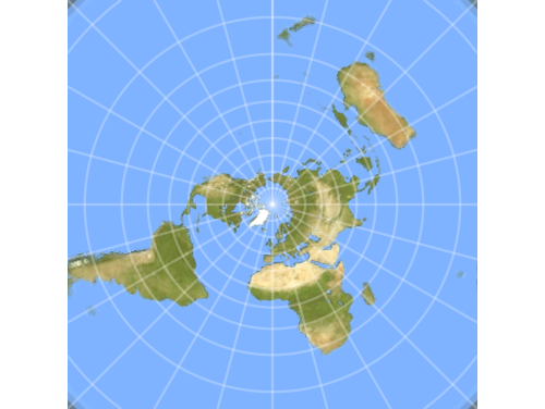
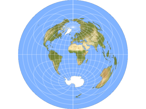
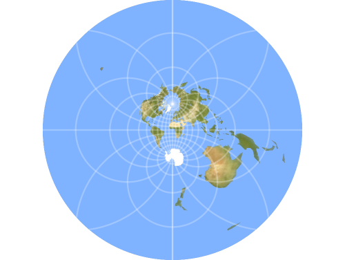
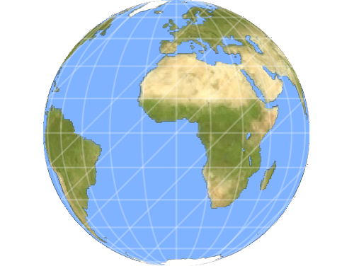
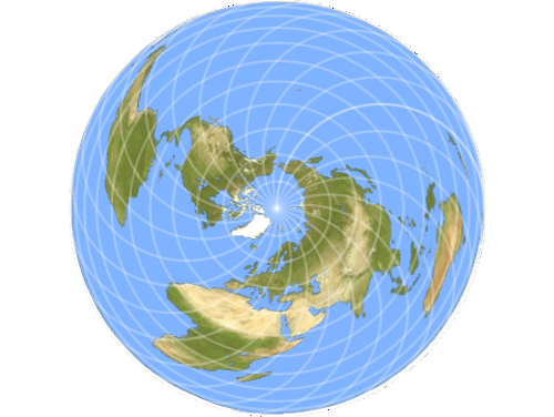
Azimuthal
Project the globe outward from a single point to reveal true directions and distances from any center.
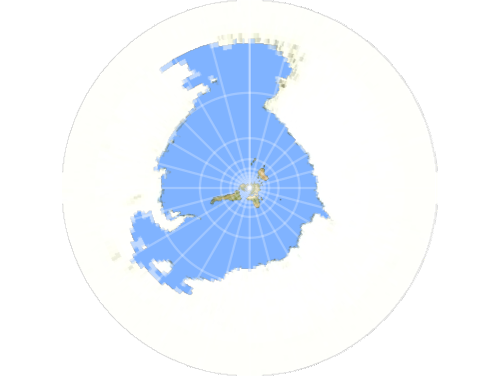
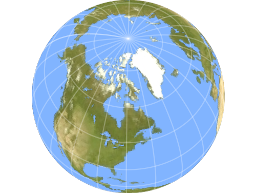
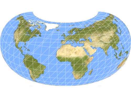
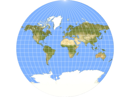
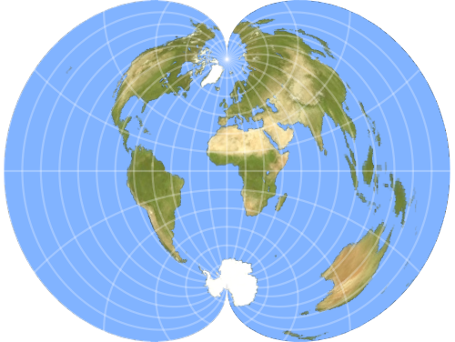
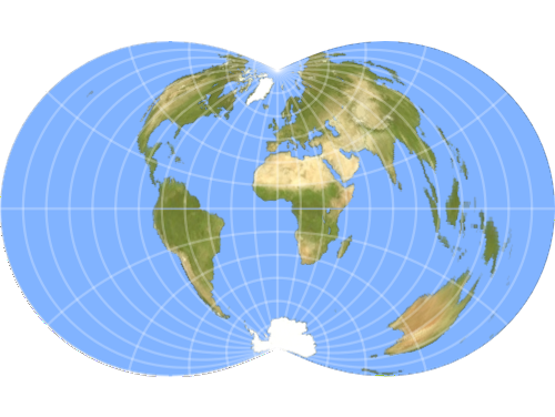
Modified‐Azimuthal
Render global extents with reduced shape distortion by adapting the standard azimuthal framework.
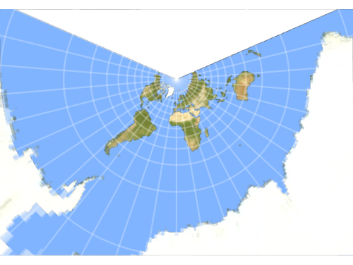
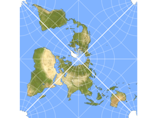
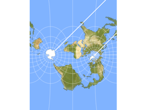
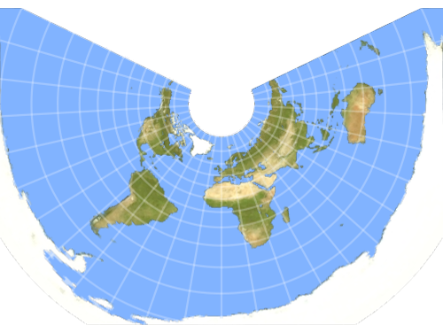
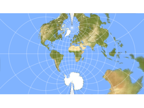
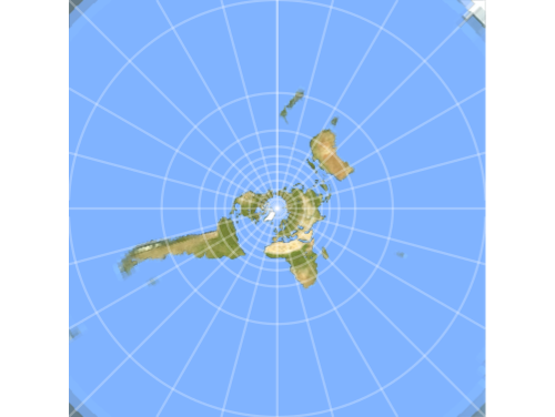
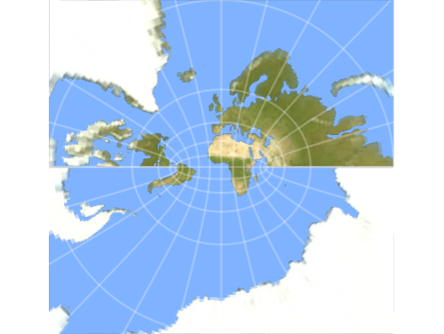
Retro‐Azimuthal
Locate any point on Earth by showing the true bearing back to a fixed reference location.
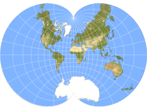
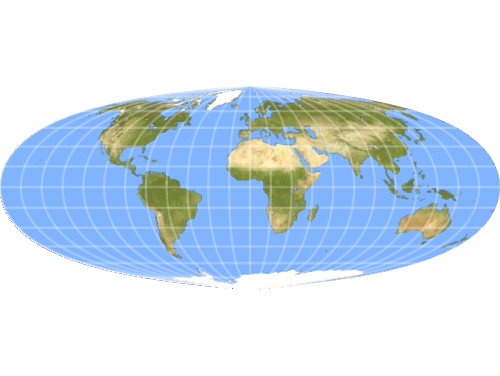
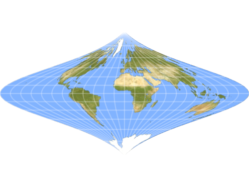
Miscellaneous
Explore specialized projections that blend techniques to serve unique cartographic or artistic purposes.