Astronomical Visualization
Visualize the sky or solar system landscapes with a wide range of customization. Use star charts to plan an observation session or create maps of solar system features.
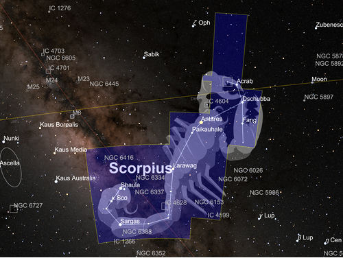
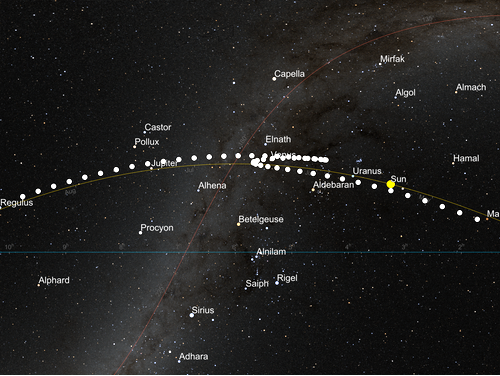
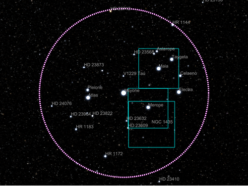
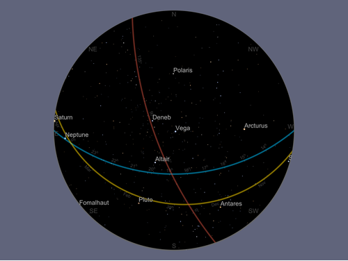
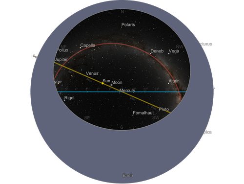
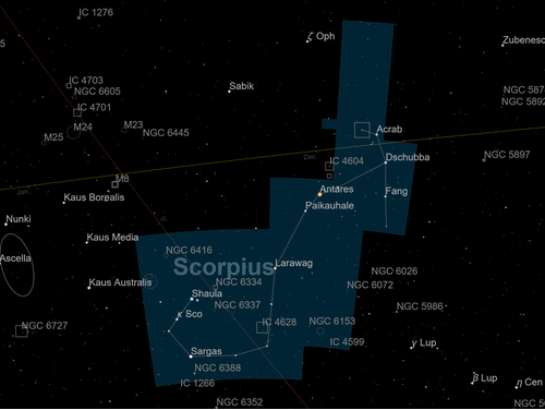
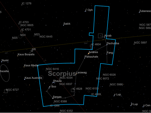
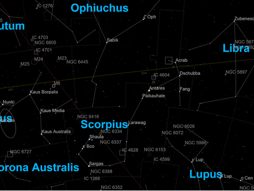
AstroGraphics
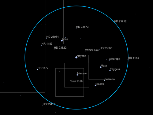
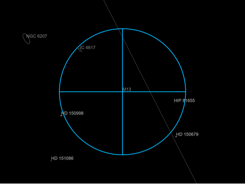
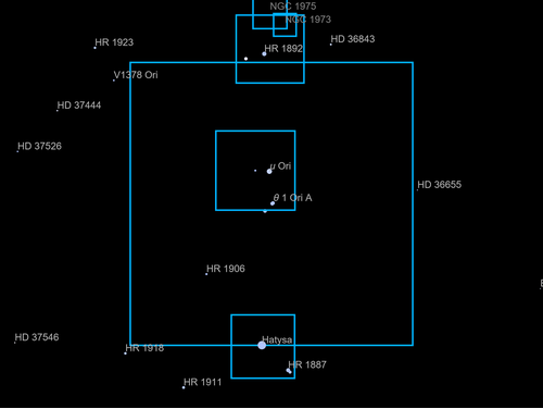
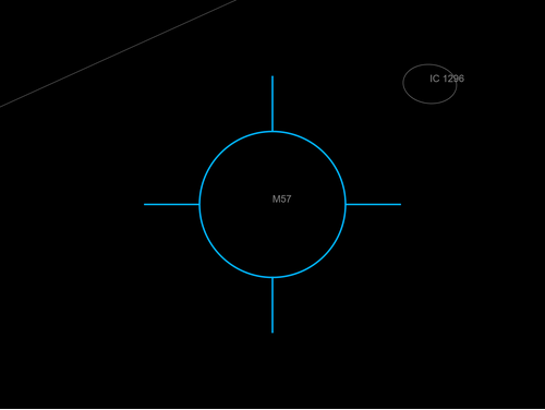
View the sky from any place on Earth or any other solar system body using AstroGraphics. Choose any field of view and overlay the background with additional data and art.
AstroBackground
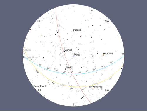
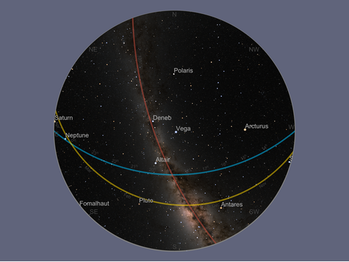
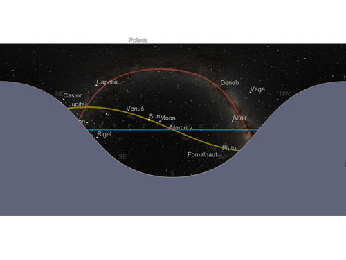
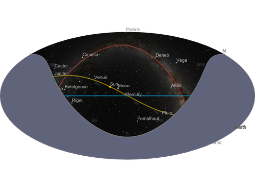
AstroGraphics accepts the AstroBackground option, which provides a variety of styles. Choose from white or black vector backgrounds or photorealistic image backgrounds using image tiles.
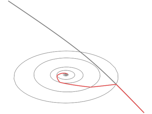
AstroProjection
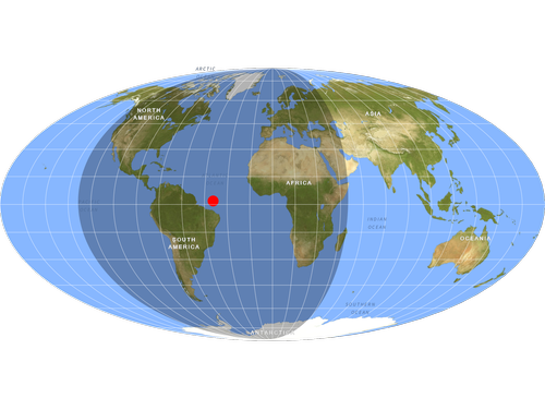
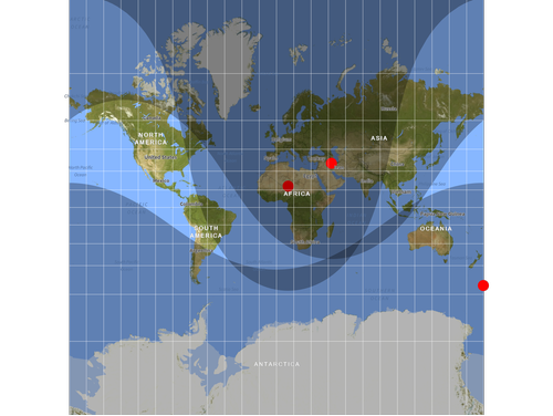
AstroGraphics accepts the AstroProjection option, which controls the type of map projection to use.
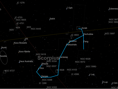
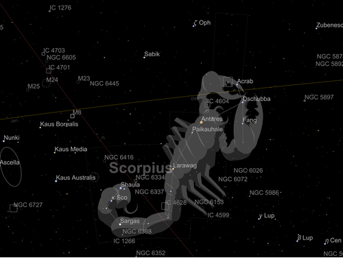
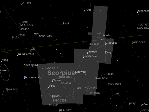
AstroStyling
AstroStyling allows specifying a variety of styling options for the elements that form the background of the sky map.
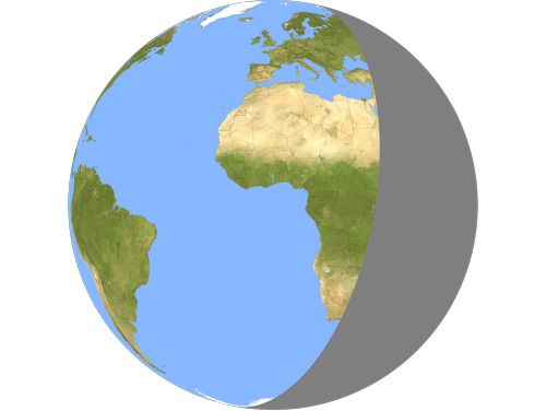
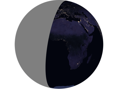
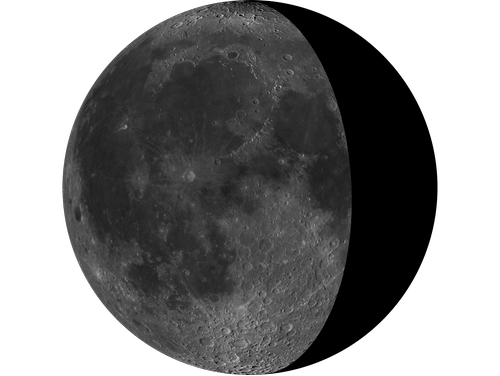
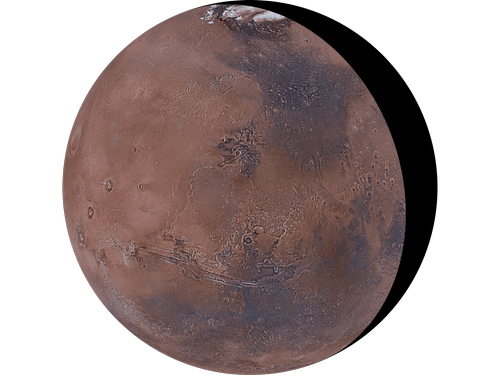
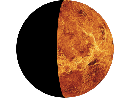
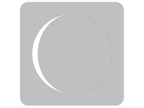
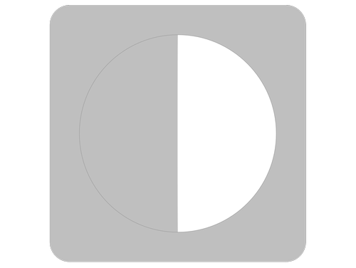
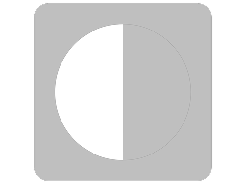
Solar System Phases
GeoGraphics supports primitives that control the appearance of the day and night hemispheres of solar system bodies, including the dividing line between them.
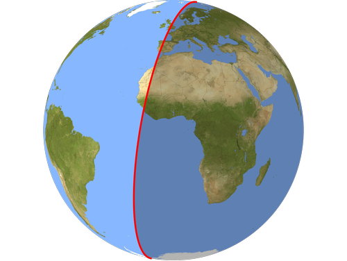
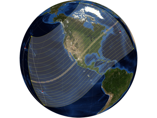
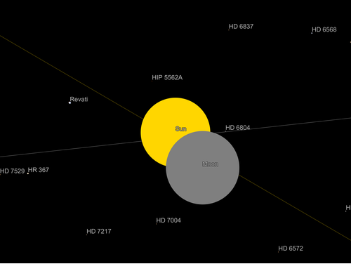
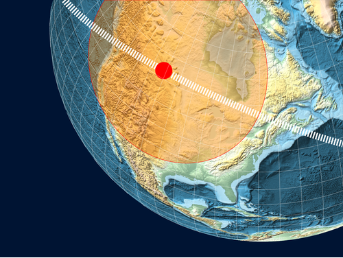
Solar Eclipses
GeoGraphics, AstroGraphics and SolarEclipse can be used to illustrate all details of solar eclipses. It is possible to compute and display eclipse ground tracks and coverage areas as well as the actual appearance of the Sun and Moon in the sky.
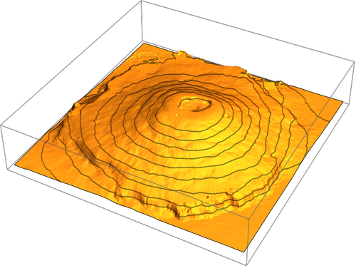
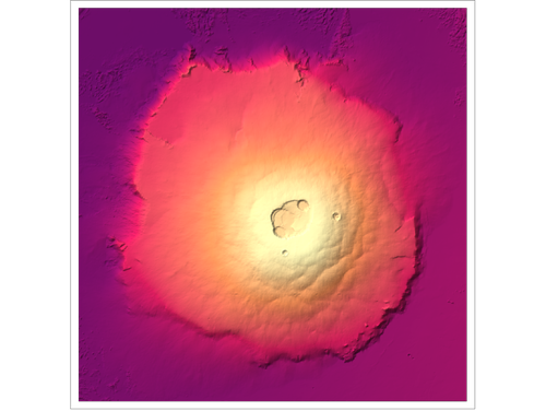
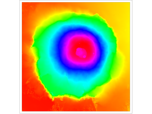
GeoElevationData
GeoElevationData can be used on all major solid bodies of the solar system, namely Earth, the Moon, Venus, Mercury, Mars and Pluto, to plot elevation maps in 2D or 3D.
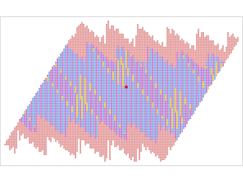
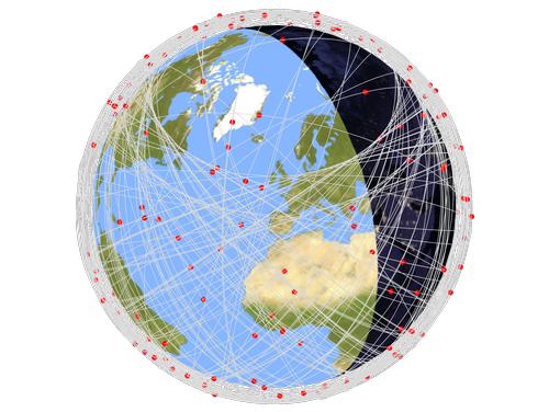
GeoVisibleRegion
GeoVisibleRegion is a GeoGraphics primitive that can be used to show the area that can be observed from an orbiting satellite.
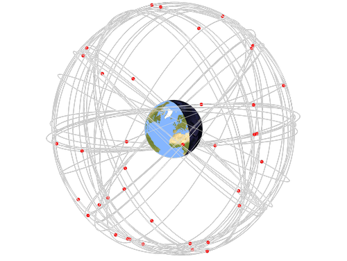
Orbital Elements
Compute the shape and orientation of orbits, as well as position and velocity of natural and artificial satellites using OrbitalElements.
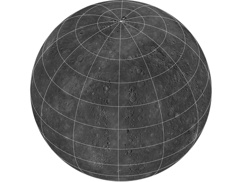
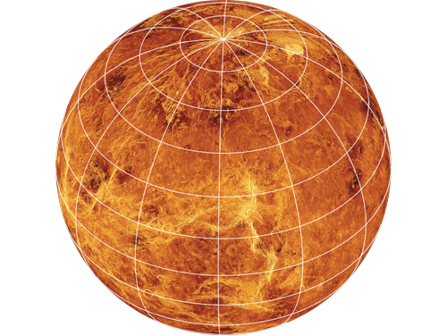
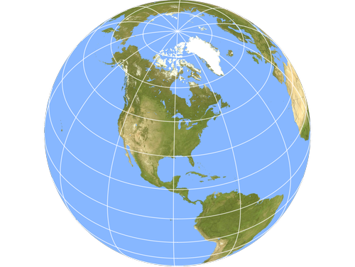
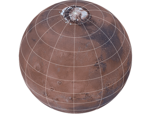
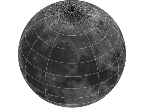
GeoModel—Planets and Our Moon
GeoGraphics is not just for use on the Earth. It can be used with the GeoModel option on all solar system planets as well as for use in mapping craters, mountains and other solar system features.
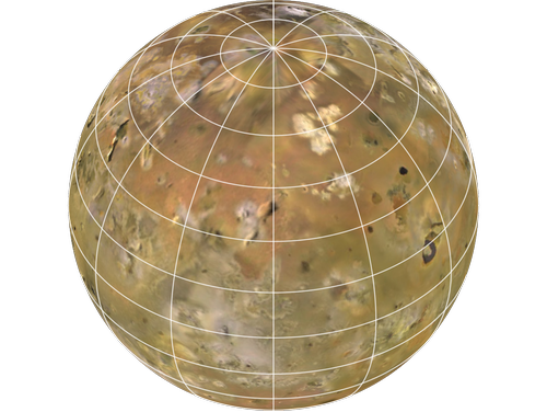
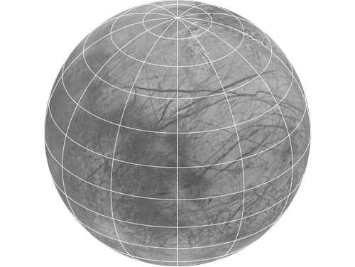
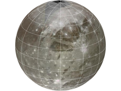
GeoModel — Moons of Jupiter
The four largest moons of Jupiter, the Galilean Satellites, have had global mapping performed.
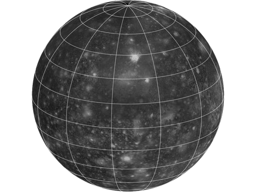
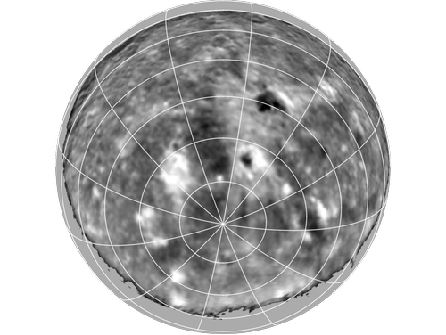
GeoModel—Moons of Saturn
Seven moons of Saturn have had global mapping done by flyby space probe missions.
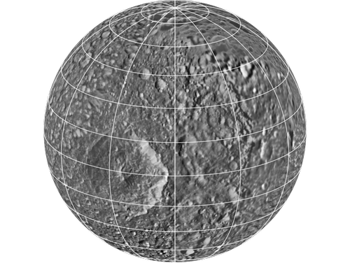
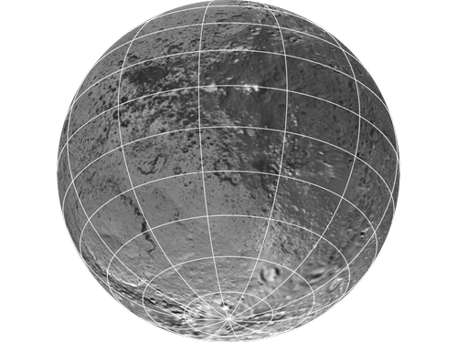
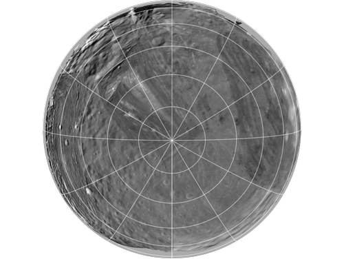
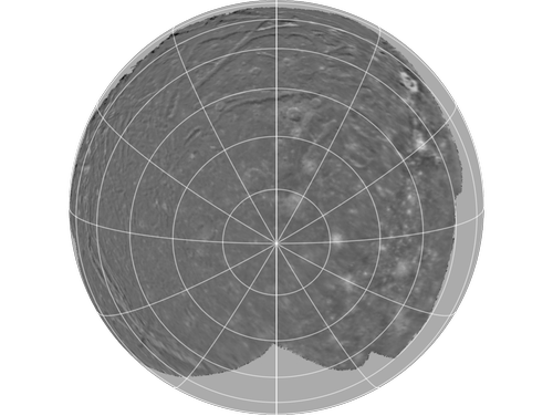
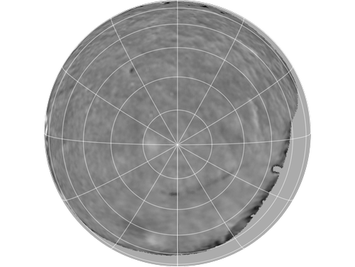
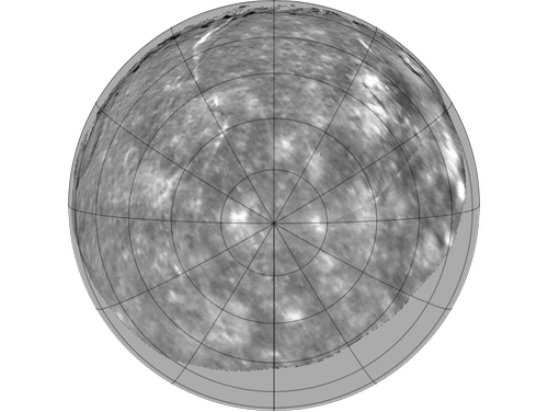
GeoModel—Moons of Uranus
The five largest moons of Uranus have each had their south pole mapped by Voyager 2.
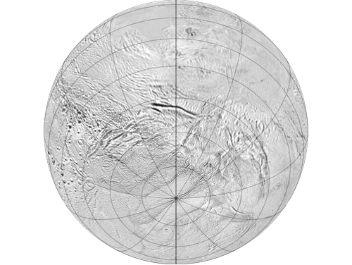
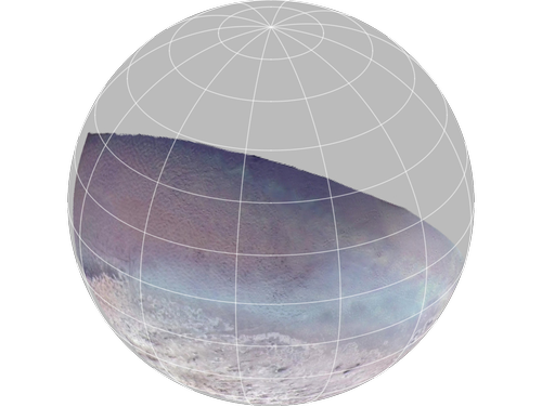
GeoModel—Largest Moon of Neptune
Only one moon of Neptune, Triton, has had detailed imagery obtained by Voyager 2, which allows partial mapping of its surface.
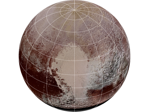
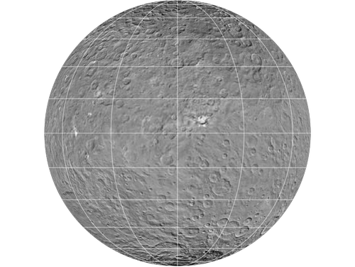
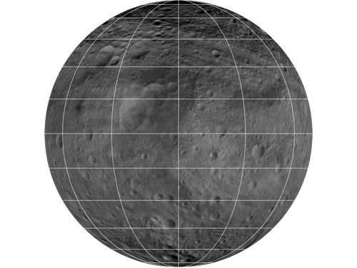
GeoModel—Minor Planets
Three minor planets (two dwarf planets, Pluto and Ceres, along with Vesta) are nearly spherical and have nearly global maps available.
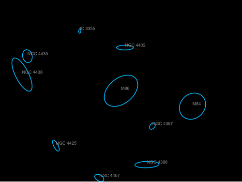
Maps of Solar System Features
Center maps on features found on planets, moons and minor planets throughout the solar system using GeoGraphics.
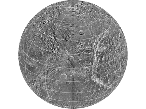
![TemplateBox[{"Copernicus crater", RowBox[{Entity, [, RowBox[{"SolarSystemFeature", ,, "CopernicusMoon"}], ]}], "Entity[\"SolarSystemFeature\", \"CopernicusMoon\"]", "solar system feature"}, Entity]](Files/AstronomicalVisualizationGallery.en/GalleryItemImage_67.png)
![TemplateBox[{"Caloris Planitia", RowBox[{Entity, [, RowBox[{"SolarSystemFeature", ,, "CalorisPlanitiaMercury"}], ]}], "Entity[\"SolarSystemFeature\", \"CalorisPlanitiaMercury\"]", "solar system feature"}, Entity]](Files/AstronomicalVisualizationGallery.en/GalleryItemImage_68.png)
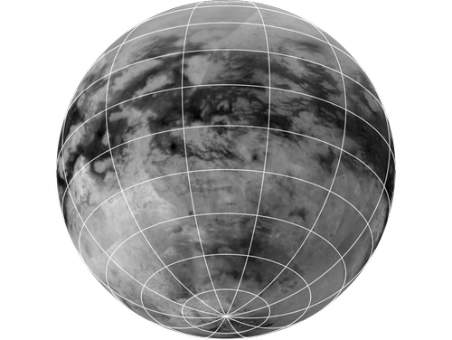
![TemplateBox[{"Maxwell Montes", RowBox[{Entity, [, RowBox[{"SolarSystemFeature", ,, "MaxwellMontesVenus"}], ]}], "Entity[\"SolarSystemFeature\", \"MaxwellMontesVenus\"]", "solar system feature"}, Entity]](Files/AstronomicalVisualizationGallery.en/GalleryItemImage_69.png)
![TemplateBox[{"Olympus Mons", RowBox[{Entity, [, RowBox[{"SolarSystemFeature", ,, "OlympusMonsMars"}], ]}], "Entity[\"SolarSystemFeature\", \"OlympusMonsMars\"]", "solar system feature"}, Entity]](Files/AstronomicalVisualizationGallery.en/GalleryItemImage_70.png)
![TemplateBox[{"Pele", RowBox[{Entity, [, RowBox[{"SolarSystemFeature", ,, "PeleIo"}], ]}], "Entity[\"SolarSystemFeature\", \"PeleIo\"]", "solar system feature"}, Entity]](Files/AstronomicalVisualizationGallery.en/GalleryItemImage_71.png)
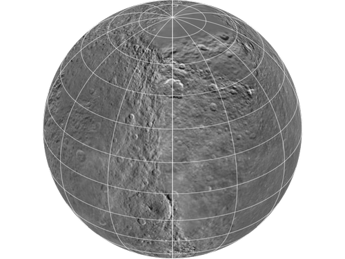
![TemplateBox[{"Herschel crater", RowBox[{Entity, [, RowBox[{"SolarSystemFeature", ,, "HerschelMimas"}], ]}], "Entity[\"SolarSystemFeature\", \"HerschelMimas\"]", "solar system feature"}, Entity]](Files/AstronomicalVisualizationGallery.en/GalleryItemImage_72.png)
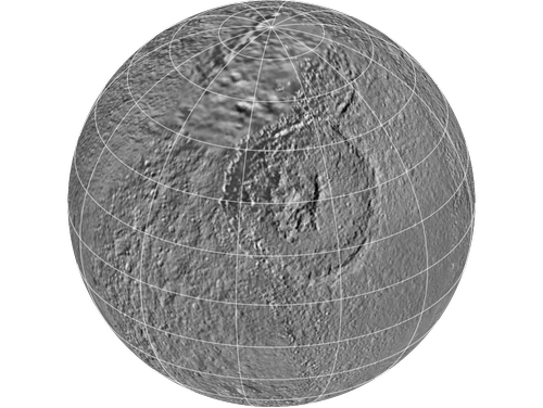
![TemplateBox[{"Adiri", RowBox[{Entity, [, RowBox[{"SolarSystemFeature", ,, "AdiriTitan"}], ]}], "Entity[\"SolarSystemFeature\", \"AdiriTitan\"]", "solar system feature"}, Entity]](Files/AstronomicalVisualizationGallery.en/GalleryItemImage_73.png)
![TemplateBox[{"Inverness Corona", RowBox[{Entity, [, RowBox[{"SolarSystemFeature", ,, "InvernessCoronaMiranda"}], ]}], "Entity[\"SolarSystemFeature\", \"InvernessCoronaMiranda\"]", "solar system feature"}, Entity]](Files/AstronomicalVisualizationGallery.en/GalleryItemImage_74.png)
![TemplateBox[{"Doro Macula", RowBox[{Entity, [, RowBox[{"SolarSystemFeature", ,, "DoroMaculaTriton"}], ]}], "Entity[\"SolarSystemFeature\", \"DoroMaculaTriton\"]", "solar system feature"}, Entity]](Files/AstronomicalVisualizationGallery.en/GalleryItemImage_75.png)